INTRODUCTION OF NAINITAL Kaladhungi - Kaladungi NAINITAL TOURISM
»»»» Beautiful Forest with a Very Fertile Area

Kaladungi or Kaladhungi is a town and a nagar panchayat in Nainital District in the Indian state of Uttarakhand.

Kaladhungi is located just on the foothill, a good climate but summers are hot, located 26 km west of Haldwani on the Haldwani - Ramnagar road. Nainital is at distance of only 34 km to the north and Bazpur at about 19 km to south. Kathgodam is 30 km. Kaladhungi has a road connecting to Delhi via Bazpur, Tanda and Moradabad.


Kaladhungi - Kaladungi

Geography of Kaladungi - Kaladhungi Geography of Kaladungi - Kaladhungi

Kaladungi is located at 29.28°N 79.35°E. It has an average elevation of 393 metres (1,289 feet).


Kaladhungi - Kaladungi

History of Kaladungi - Kaladhungi History of Kaladungi - Kaladhungi

Kaladhungi : - The name of the town Kaladhungi orginates from a place where black dunga (stone) is found. Black refers to the iron content in the stone found in Kaladhungi. The town was a center of a thriving iron foundry industry based on local ore and forest charcoal. The foundry can still be seen here.


About Kaladungi - Kaladhungi About of Kaladungi - Kaladhungi

Amenities

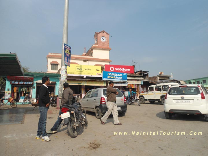
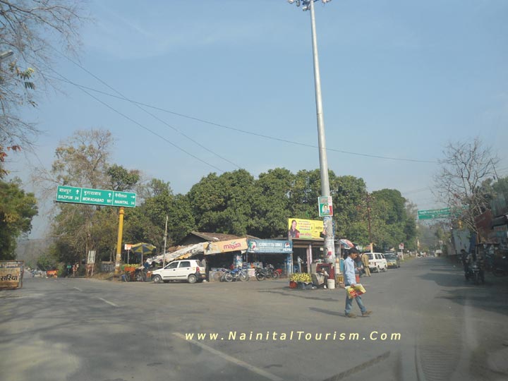
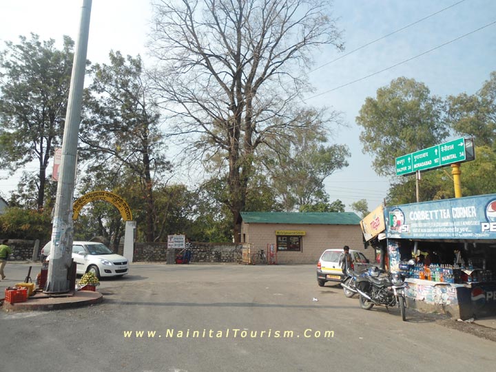
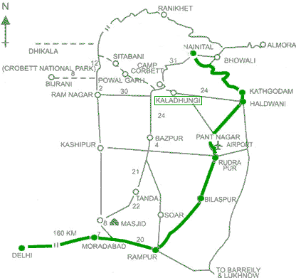
Kaladungi has been a local commercial centre for the surrounding villages in the plains, for over a century now. Kaldhungi is a Tehsil headquarters, has an Intermediate Govt. School, and Hospital, with normal facilities like, electricity, water, telephone, banks, post office etc.

Kaladungi is a very fertile area and a variety of fruits and vegetables

Fruits like Mangoes, Lichi, Papaya, Gauva and Bananas.

Vegetables - Potato, Cauliflower, Tomato, Cabbage, Peas, Beans, Brinjaul, Guards, Lauki, Kaddu, Karela, Dhaniya, Haldi, Ginger, Sarson, Methi, Palak etc.

Crops - Main crops are Wheat, Rice, Mustard, Sugarcane, Maize, Soyabean, Gram, Arhar, Moong, Masoor etc.
 

Kaladhungi Pin code 263139


Kaladhungi - Kaladungi

Local Attractions Kaladungi - Kaladhungi Local Attractions Kaladungi - Kaladhungi

Jim Corbett, the famous man eater hunter and a great environmentalist lived at Choti Haldwani, 2 km west of Kaladungi on Ramnagar road for most years of his life. His house has now been converted into a museum in his memory by the government, known as 'Jim Corbett Museum', a must see for the tourist going to Nanital taking Kaladunigi - Nainital road. There are also the graves of his two dogs in the compound of the museum.


Jim Corbett Museum Kaladhungi - Kaladungi

Distance Between - Distance Chart Kaladungi - Kaladhungi Distance Between - Distance Chart Kaladungi - Kaladhungi

Kaladungi is 30 km of Nainital

Kaladungi is 26 km west of Haldwani

Kaladungi is 32 km Ramnagar

Kaladungi is 30 km north of Bazpur

Kaladungi is 30 km to south Kathgodam

Kaladungi is 83 km to Moradabad

Kaladungi is 245 km to Delhi

Distance Between - Distance Chart Kaladungi - Kaladhungi Route Map of Kaladungi - Kaladhungi

Map of Kaladungi - Kaladhungi

 
Available All Types of Vehicles at Nainital
WE ARRANGE DELUXE BUSES, INNOVA, IDIGO, INDICA, SUMO, QUALIS, TEMPO-TRAVELER, TAXIS  FOR NAINITAL
DELUXE BUSES, INNOVA, INDIGO, INDICA, SUMO, QUALIS, TEMPO-TRAVELER, TAXIS
-|- HOTELS IN NAINITAL -|- BOOK HOTEL IN NAINITAL -|- IN NAINITAL -|- PACKAGES FOR NAINITAL -|- NAINITAL PACKAGES -|-
 

|| Kotabagh - The Most Picturesque Place in the Kumaon Region ||

Five Seasons Of Nainital || Home Page || Do's n Don'ts

Nainital Tours & Package SITEMAP OF NAINITAL - UTTARAKHAND TOURISM 1000 + PAGES